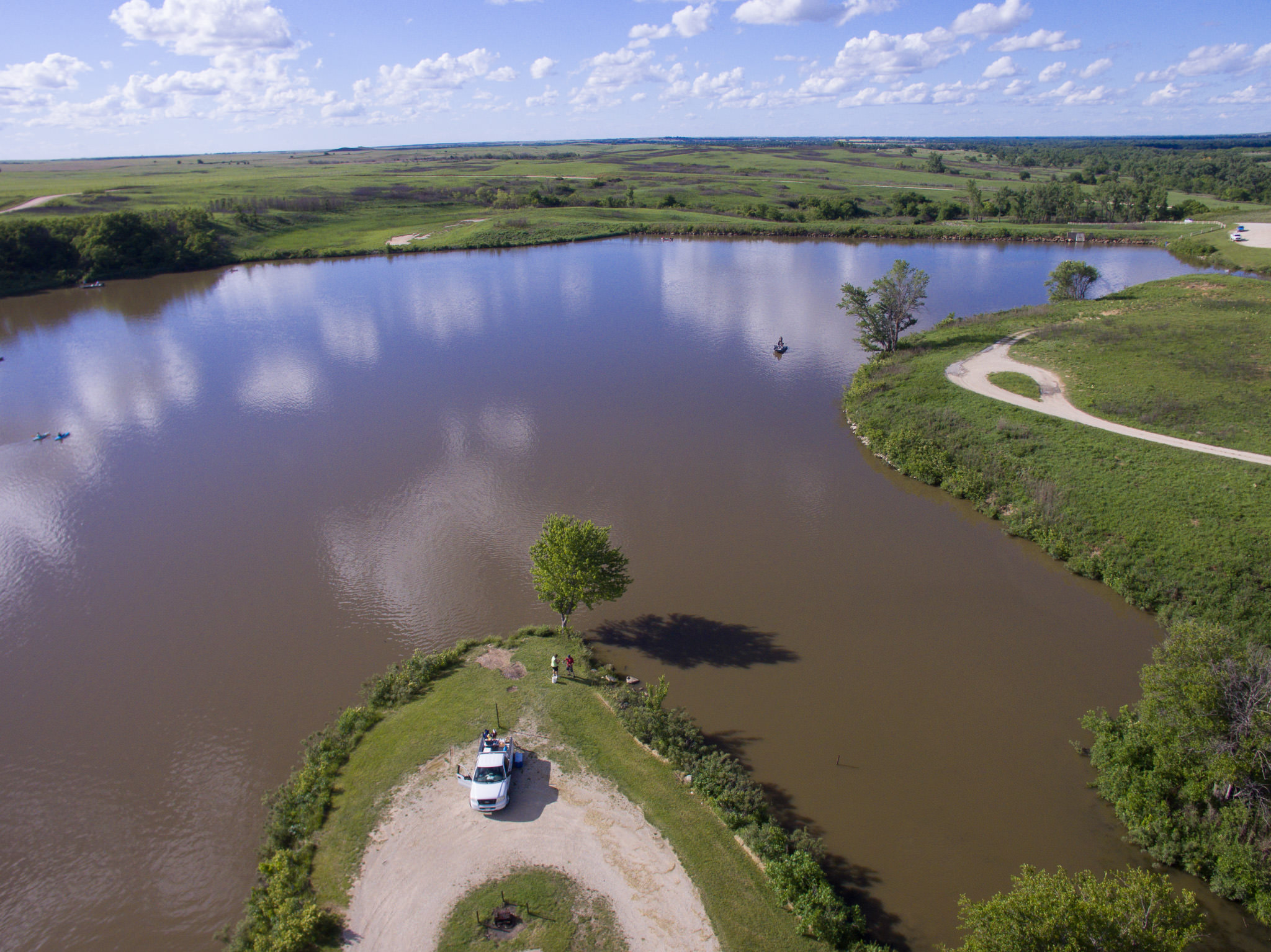
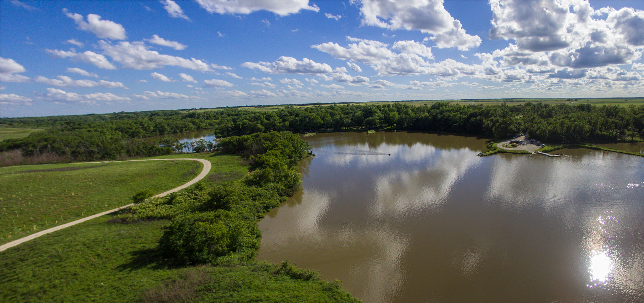
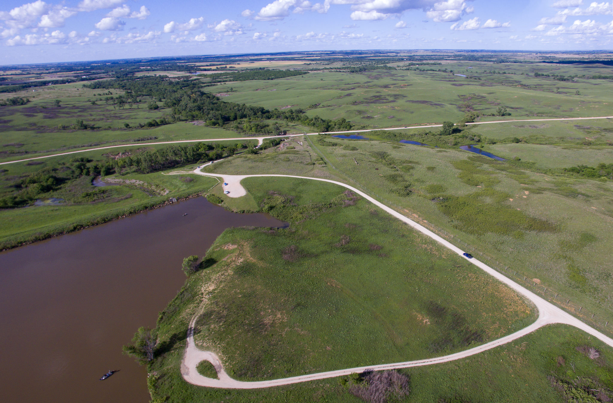
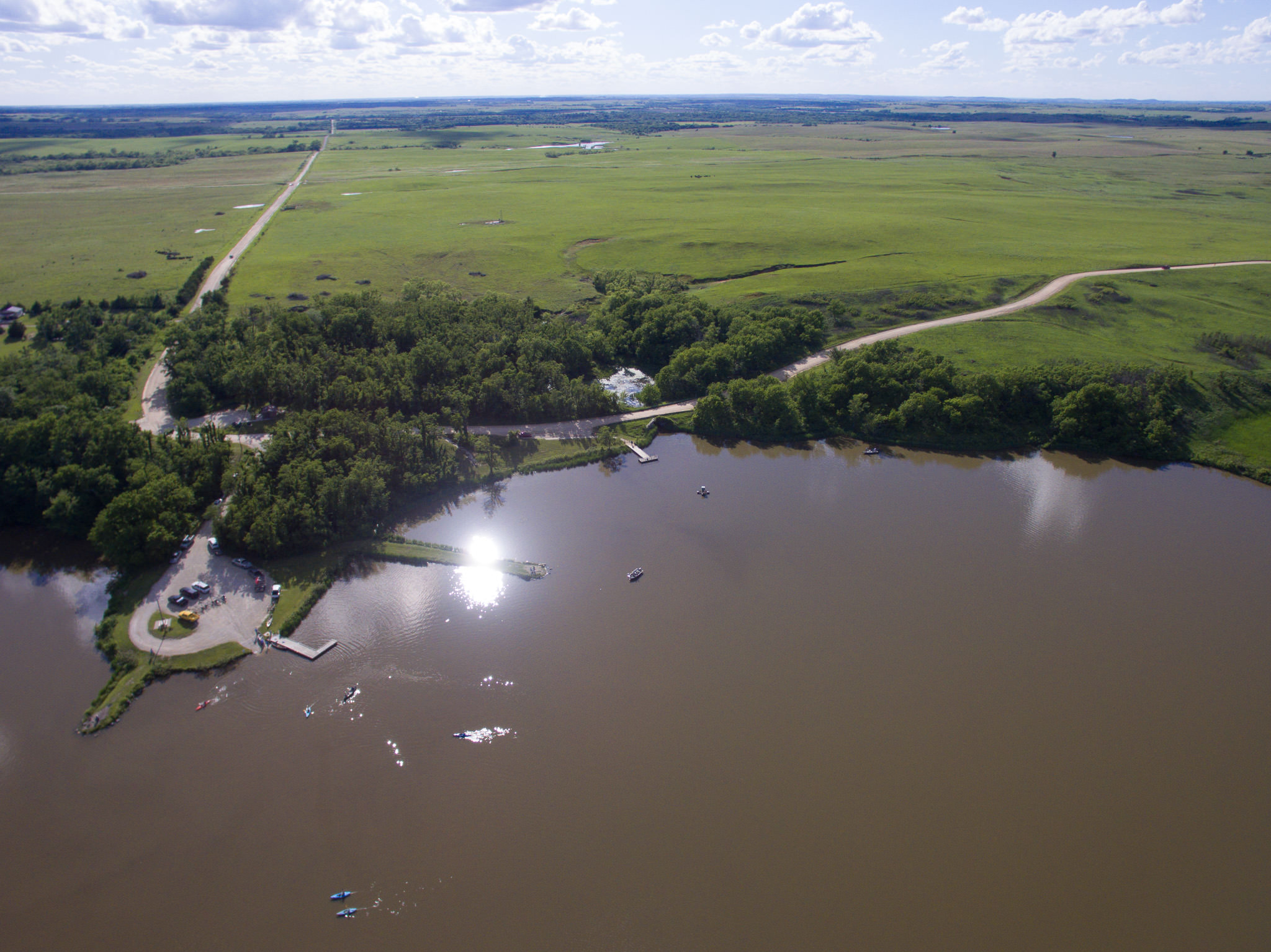
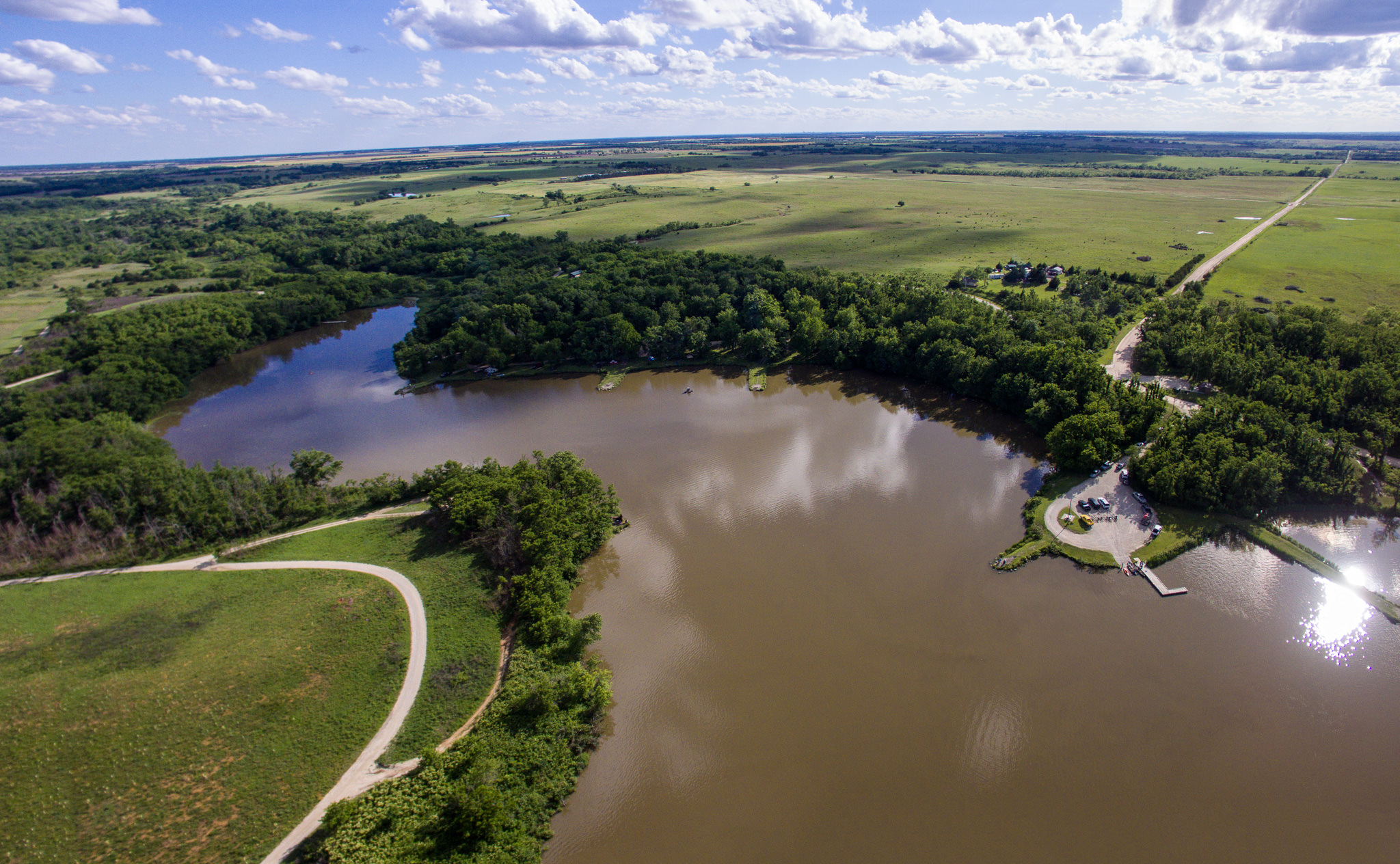
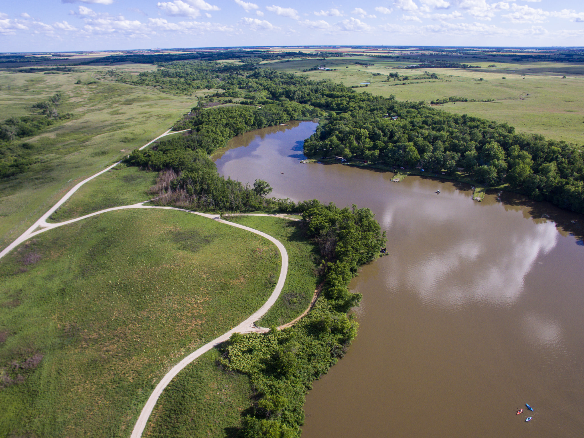
I flew my drone out at the McPherson State Fishing Lake (commonly known as Maxwell, for the adjacent game preserve) today and got a few decent and interesting photos.
In hindsight, I should have been on the other side of the lake, looking at the east shore, given the time of day. (Noted for future reference 🙂 )
In any case, I love the new and different perspective obtained from low altitude (120 meters or less) aerial photos.